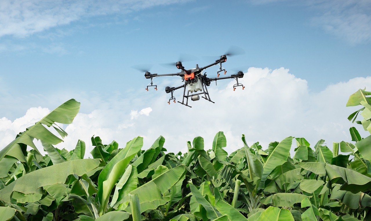
Advancements in Drone Technology for Surveillance Missions
In recent years, the world of drone technology has witnessed a remarkable transformation, particularly in the realm of surveillance missions. Drones, once viewed as mere toys or tools for hobbyists, have evolved into sophisticated machines that play crucial roles in various sectors, including security, law enforcement, and environmental monitoring. The advancements in drone technology not only enhance their operational capabilities but also expand their applications, making them indispensable in today's fast-paced, data-driven world. Have you ever wondered how these flying marvels are changing the way we monitor our surroundings? Let’s dive into the latest developments that are revolutionizing surveillance.
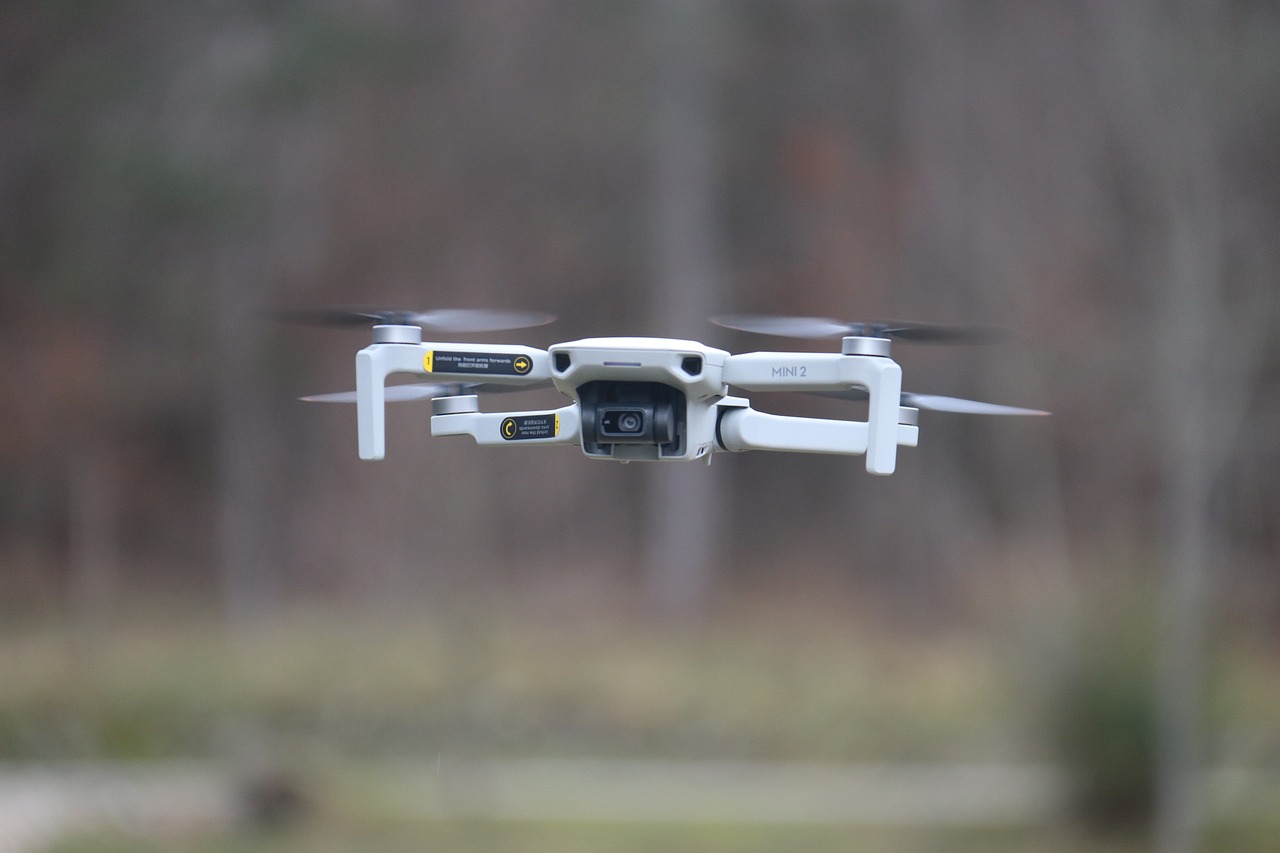
One of the most striking advancements in drone technology is the enhancement of imaging capabilities. Gone are the days when drone cameras produced grainy, low-resolution images. Today's drones are equipped with high-definition cameras that capture stunning visuals with incredible detail. This leap in imaging technology allows operators to conduct surveillance with unprecedented accuracy. Whether it's monitoring a crowded event or surveying a remote landscape, the clarity of the images captured can make all the difference. Imagine being able to identify a license plate from hundreds of feet in the air! This level of detail is crucial for law enforcement agencies and security personnel who rely on accurate information for decision-making.
Advancements in artificial intelligence (AI) and machine learning have paved the way for the development of autonomous flight systems. These systems enable drones to navigate complex environments without the need for constant human intervention. Picture this: a drone programmed to patrol a designated area, adjusting its flight path in real-time to avoid obstacles and adapt to changing conditions. This not only enhances the efficiency of surveillance operations but also reduces the risk of human error. With autonomous flight, drones can cover vast areas, allowing for more comprehensive surveillance compared to traditional methods.
Modern drones come equipped with advanced sensors that facilitate obstacle detection and avoidance. These sensors work like the eyes of the drone, constantly scanning the environment for potential hazards. This capability is crucial during surveillance missions, where safety is paramount. Imagine a drone flying over a busy urban area; it needs to navigate around buildings, trees, and other obstacles. With obstacle detection systems in place, drones can make real-time adjustments to their flight paths, ensuring safe and effective surveillance.
Innovative sensor technologies, such as LiDAR (Light Detection and Ranging) and thermal imaging, provide drones with the ability to capture data in diverse conditions. LiDAR allows drones to create precise, three-dimensional maps of the terrain, which is invaluable for environmental monitoring and urban planning. On the other hand, thermal imaging enables drones to detect heat signatures, making them essential for search and rescue operations, as well as surveillance in low-light conditions. These advancements expand the operational capabilities of drones, allowing them to perform tasks that were once deemed impossible.
Real-time data processing capabilities are another game-changer in drone technology. Drones can now analyze and transmit information instantly, allowing for timely decision-making during surveillance operations. For instance, if a drone detects unusual activity in a restricted area, it can immediately alert operators, enabling them to respond swiftly. This capability not only enhances operational efficiency but also increases the overall effectiveness of surveillance missions. The ability to process data in real-time is akin to having a personal assistant that alerts you to important developments as they happen!
Effective mission planning tools are essential for coordinating multiple drones during complex surveillance tasks. These tools optimize coverage and resource allocation, ensuring that every corner of the area is monitored efficiently. With the ability to deploy several drones simultaneously, operators can gather comprehensive data from different perspectives, enhancing the overall quality of surveillance. Think of it as a well-orchestrated symphony, where each drone plays its part, contributing to a harmonious outcome.
As drone technology advances, navigating the regulatory landscape presents a significant challenge. Compliance with laws governing airspace and surveillance practices is crucial for the safe and responsible use of drones. Operators must stay informed about local regulations to avoid legal repercussions. This can be daunting, especially as laws evolve alongside technological advancements. It's essential for drone operators to engage with regulatory bodies and advocate for clear guidelines that support innovation while ensuring public safety.
The use of drones for surveillance raises significant privacy concerns. As drones become more prevalent in our skies, discussions about ethical guidelines and regulations to protect individual rights are more critical than ever. How do we balance the benefits of surveillance with the need for privacy? This question is at the forefront of many debates, as communities seek to establish boundaries that respect personal privacy while allowing for effective monitoring. It's a delicate dance that requires careful consideration from all stakeholders.
Looking ahead, emerging trends in drone technology promise to revolutionize surveillance missions even further. The integration of 5G connectivity will allow drones to transmit data faster and more reliably, enhancing their operational efficiency. Additionally, the concept of swarm intelligence—where multiple drones work together to achieve a common goal—holds immense potential for complex surveillance tasks. Imagine a fleet of drones working in unison to monitor a large area, sharing information in real-time to create a comprehensive surveillance network. The future of drone surveillance is bright, and we are just beginning to scratch the surface of what is possible.
- What are the primary uses of drones in surveillance? Drones are used for various surveillance purposes, including law enforcement monitoring, environmental assessments, and security at large events.
- How do drones ensure privacy during surveillance? Responsible drone operators adhere to regulations and ethical guidelines designed to protect individual privacy while conducting surveillance.
- What technological advancements are expected in the future? Future advancements may include enhanced AI algorithms, improved battery life for longer flights, and the integration of advanced communication systems like 5G.
Enhanced Imaging Capabilities
This article explores the latest developments in drone technology, focusing on their applications in surveillance missions, benefits, challenges, and future prospects.
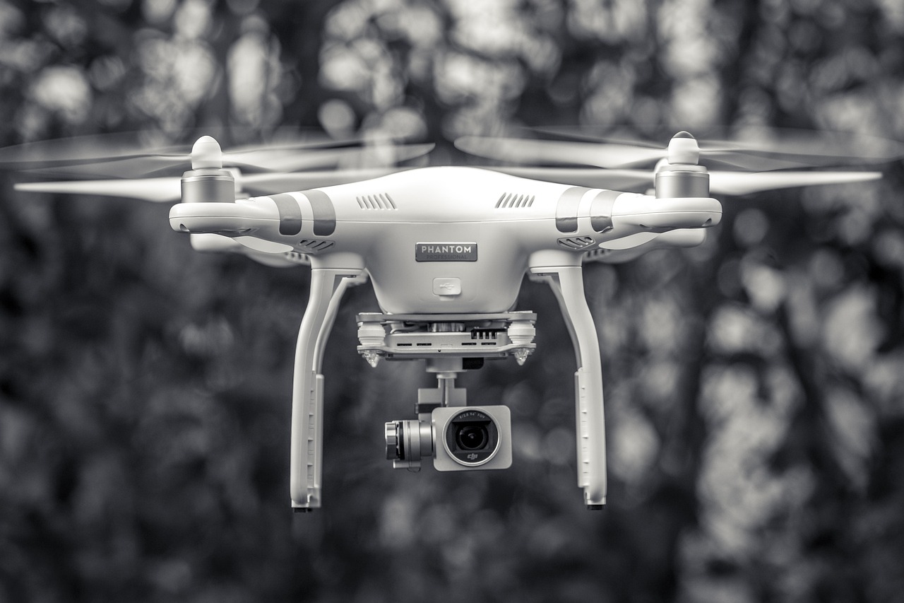
The evolution of drone cameras has significantly improved image resolution and quality, enabling better surveillance accuracy and detail in various environments. Imagine soaring above a bustling cityscape or a secluded forest, capturing every detail with remarkable clarity. The latest drones are equipped with high-definition cameras that can record in 4K resolution or even higher, allowing operators to zoom in on targets without losing critical details. This is not just about pretty pictures; it's about enhanced situational awareness. For instance, law enforcement agencies can now identify faces or license plates from great distances, making their operations much more effective.
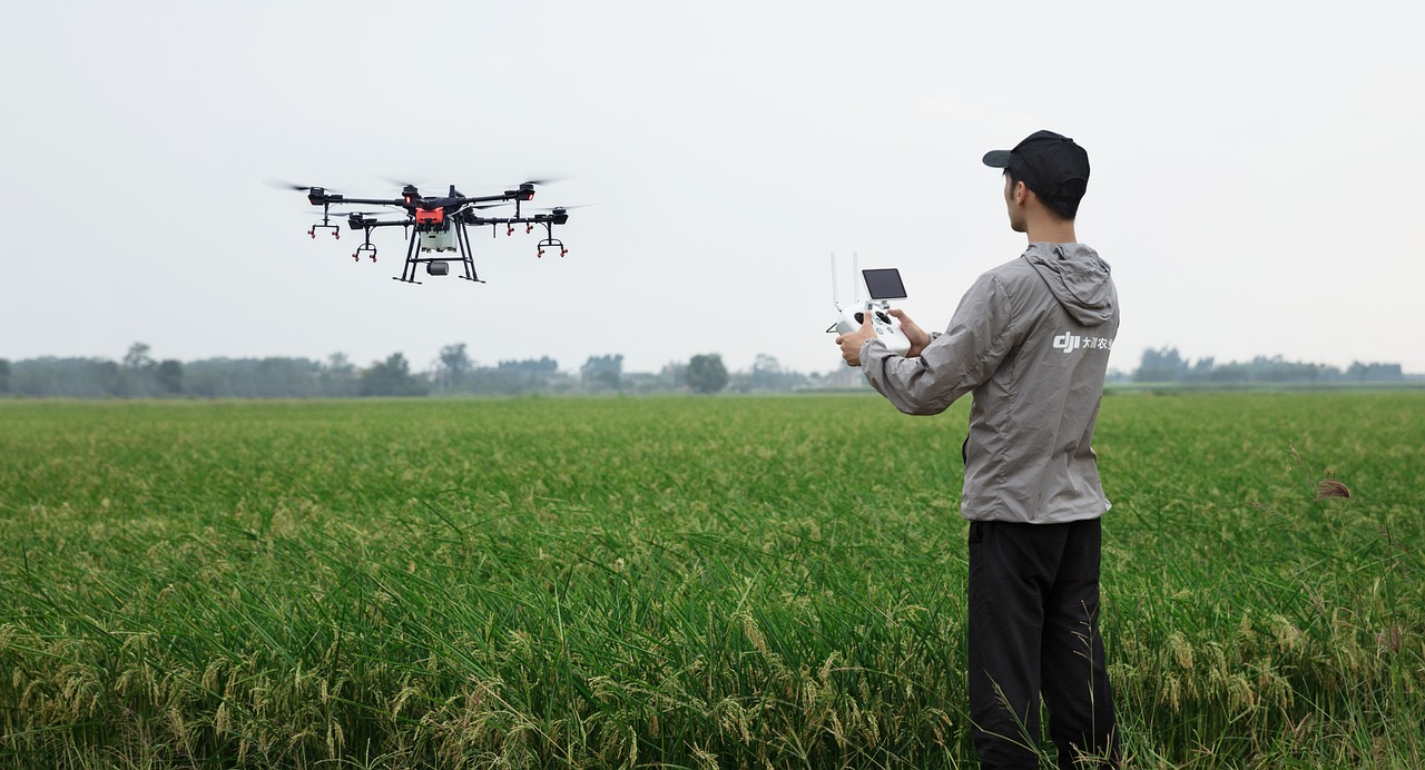
Furthermore, the incorporation of multi-spectral imaging into drone technology has opened new avenues for surveillance. This technology allows drones to capture images across various wavelengths, providing insights that are invisible to the naked eye. For example, in agricultural surveillance, farmers can monitor crop health by detecting variations in plant vigor, which is crucial for optimizing yield. In security applications, this technology can help identify heat signatures of intruders at night, making it a powerful tool for law enforcement and security agencies.
To put this into perspective, consider the following table that highlights the differences in imaging capabilities:
| Imaging Technology | Resolution | Use Cases |
|---|---|---|
| Standard HD Camera | 1080p | Basic surveillance, event monitoring |
| 4K Camera | 3840 x 2160 | Detailed surveillance, facial recognition |
| Multi-Spectral Camera | Variable | Agricultural monitoring, search and rescue |
| Thermal Imaging | Variable | Night operations, heat detection |
These advancements in imaging capabilities are not just technical upgrades; they represent a paradigm shift in how we conduct surveillance. The ability to gather and analyze high-quality images in real-time allows for quicker decision-making and more efficient operations. Whether it’s monitoring a crowded event for security threats or surveying vast landscapes for environmental changes, the enhanced imaging capabilities of modern drones are revolutionizing the way we approach surveillance missions.
In conclusion, as drone technology continues to advance, we can expect even more innovative imaging solutions that will further enhance surveillance missions. The future holds exciting possibilities, and the integration of AI and machine learning will only amplify these capabilities, making drones an indispensable tool for various sectors, including law enforcement, agriculture, and environmental monitoring.
- What are the benefits of using drones for surveillance?
Drones offer high-resolution imaging, real-time data processing, and the ability to cover large areas quickly, making them highly effective for surveillance. - How do drones ensure privacy during surveillance?
Many drone operators adhere to strict regulations and ethical guidelines to minimize privacy invasions, using technology responsibly. - What advancements can we expect in drone imaging technology?
Future advancements may include improved sensor technologies, enhanced AI capabilities, and better integration with other surveillance systems.
Autonomous Flight Systems
The world of drone technology has taken a giant leap forward with the advent of . These systems are powered by cutting-edge artificial intelligence and machine learning, allowing drones to navigate through complex environments without the need for human intervention. Imagine a drone soaring through a dense forest or bustling cityscape, making real-time decisions based on its surroundings—this is no longer a scene from a sci-fi movie; it's the reality we are living in today!
One of the most remarkable features of these autonomous systems is their ability to adapt to changing conditions. For instance, if a drone encounters an unexpected obstacle, it can instantly assess the situation and reroute itself to avoid a collision. This capability enhances not only the safety of the operation but also the overall efficiency of surveillance missions. With the integration of advanced algorithms, drones can now perform tasks that were once thought to require human oversight, such as monitoring large areas and identifying specific targets.
At the heart of autonomous flight systems lies the technology for obstacle detection and avoidance. Modern drones are equipped with a variety of sensors that work in harmony to create a comprehensive understanding of their environment. These sensors can include:
- Ultrasonic sensors for distance measurement
- LiDAR for 3D mapping
- Infrared cameras for thermal imaging
This combination allows drones to generate real-time maps of their surroundings, identifying obstacles such as trees, buildings, and other aircraft. The result? A significant reduction in the risk of accidents during surveillance missions, making them much more reliable.
Innovative sensor technologies play a crucial role in enhancing the capabilities of autonomous drones. For example, LiDAR systems can create detailed topographical maps, while thermal imaging allows for surveillance in low-light conditions. These sensors work together to provide a comprehensive view of the environment, enabling drones to perform effectively in a variety of situations, from search and rescue operations to wildlife monitoring.
Another exciting aspect of autonomous flight systems is their real-time data processing capabilities. Drones equipped with powerful onboard processors can analyze data as it is captured, allowing them to make instantaneous decisions. This is particularly beneficial during surveillance operations, where timely information can be critical. For example, if a drone is monitoring a large area for security breaches, it can immediately alert operators if it detects any unusual activity.
Effective mission planning tools are essential for optimizing the use of autonomous drones. Operators can coordinate multiple drones to work together, covering larger areas more efficiently than a single drone could. This not only maximizes surveillance coverage but also ensures that resources are allocated effectively. As technology continues to evolve, we can expect even more sophisticated planning and coordination tools that will make operating fleets of drones as seamless as possible.
- What are autonomous flight systems?
Autonomous flight systems enable drones to navigate and perform tasks without human input, using AI and machine learning to make real-time decisions. - How do drones avoid obstacles?
Drones utilize a combination of sensors, such as LiDAR and ultrasonic sensors, to detect and avoid obstacles in their path. - What advantages do autonomous drones offer for surveillance?
They provide enhanced safety, efficiency, and the ability to process data in real-time, allowing for quicker decision-making during operations. - Can multiple drones operate together autonomously?
Yes, with advanced mission planning tools, multiple drones can be coordinated to work together for more effective surveillance coverage.
Obstacle Detection and Avoidance
In the rapidly evolving world of drone technology, systems have emerged as a game-changer, particularly for surveillance missions. Imagine flying a drone through a dense forest or over a bustling urban landscape; the potential for collisions is significant. However, with the integration of advanced sensors and artificial intelligence, modern drones can now navigate these complex environments with remarkable precision.
These systems utilize a combination of radar, ultrasonic sensors, and cameras to identify obstacles in real-time. When a drone is airborne, it constantly scans its surroundings, creating a 3D map of potential hazards. This capability is akin to how humans use their eyes to perceive depth and distance, allowing drones to make split-second decisions to avoid collisions. For instance, if a drone detects a tree branch or a power line in its path, it can autonomously adjust its flight path, ensuring that it maintains a safe distance.
One of the most impressive aspects of these systems is their ability to operate under various conditions. Whether it's bright sunlight, heavy rain, or even fog, modern drones can adapt their detection capabilities. This adaptability is crucial for surveillance operations, where conditions can change rapidly. In fact, many drones are now equipped with multi-spectral sensors that can function effectively in low-light situations, further enhancing their operational capabilities.
To illustrate the effectiveness of these systems, consider the following table that highlights key features of obstacle detection technologies:
| Technology | Functionality | Advantages |
|---|---|---|
| Radar | Detects objects using radio waves | Works in all weather conditions |
| Ultrasonic Sensors | Measures distance using sound waves | Cost-effective and efficient for short-range |
| Cameras | Visual detection and recognition | High-resolution imagery for detailed analysis |
Moreover, the integration of machine learning algorithms enhances the drone's ability to learn from its environment. Over time, these drones become more adept at recognizing common obstacles and adjusting their flight patterns accordingly. This learning curve not only improves safety but also increases the efficiency of surveillance missions. Imagine a drone that can predict the likelihood of encountering certain obstacles based on previous flight data; this predictive capability is revolutionizing how we think about drone operations.
However, the journey towards fully autonomous obstacle detection is not without its challenges. Factors such as weather conditions, terrain variability, and the size and speed of obstacles can affect sensor performance. For example, heavy rain can obscure camera visibility, while rapidly moving objects may pose a challenge for detection algorithms. Therefore, ongoing research and development are crucial to refine these systems further.
In conclusion, the advancements in obstacle detection and avoidance technologies are propelling drone surveillance missions into a new era of safety and efficiency. As these technologies continue to evolve, we can expect even more sophisticated systems that will not only enhance operational capabilities but also pave the way for broader applications across various industries.
- What is obstacle detection in drones?
Obstacle detection refers to the technology that allows drones to identify and avoid obstacles in their flight path using various sensors. - How do drones avoid obstacles?
Drones use a combination of radar, ultrasonic sensors, and cameras to detect obstacles and autonomously adjust their flight paths. - Can drones fly in bad weather?
While many drones are equipped to handle various weather conditions, performance may vary based on the specific technology and environmental factors. - What are the benefits of autonomous obstacle avoidance?
Autonomous obstacle avoidance enhances safety, reduces the risk of collisions, and improves the efficiency of surveillance missions.

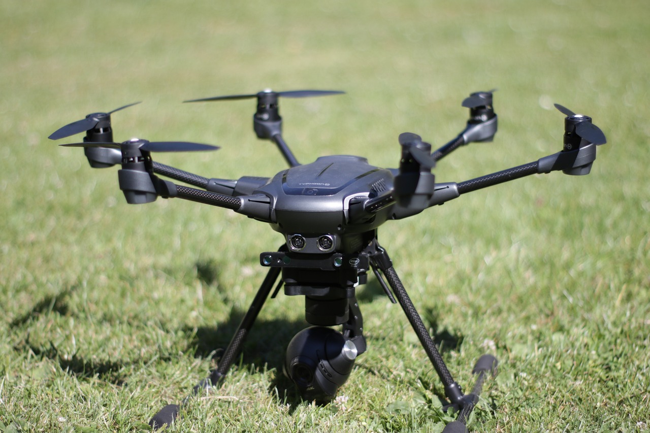
Sensor Technologies
When we talk about in the realm of drone surveillance, we're diving into a world that is both fascinating and crucial for modern operations. Imagine being able to see through walls or detect heat signatures from miles away—this is the power that innovative sensors bring to the table. Drones are now equipped with an array of advanced sensors that enhance their ability to gather data in various environments. Two standout technologies in this field are LiDAR and thermal imaging.
LiDAR, or Light Detection and Ranging, uses laser pulses to measure distances and create detailed 3D maps of the terrain. This technology is particularly useful for surveying large areas, as it can penetrate through vegetation and provide accurate topographical data. For instance, in search and rescue operations, LiDAR can help locate missing persons by mapping out dense forests or rugged landscapes, providing a clear view of the area even when visibility is poor.
On the other hand, thermal imaging allows drones to detect heat emitted by objects, which is invaluable for surveillance in low-light conditions. This technology can identify warm bodies in a crowd or even track the movement of wildlife at night. The ability to see in the dark opens up a whole new dimension for surveillance missions, making it easier to monitor sensitive areas without being detected.
Moreover, the integration of these sensor technologies into drones is not just about enhancing capabilities; it's also about improving operational efficiency. For example, drones equipped with both LiDAR and thermal sensors can conduct comprehensive surveys in a single flight, drastically reducing the time and resources needed for data collection. This capability is a game-changer for industries such as agriculture, where farmers can monitor crop health and irrigation needs more effectively.
However, with great power comes great responsibility. The deployment of advanced sensors also raises questions about privacy and security. As drones become more capable of capturing detailed information about individuals and environments, the need for clear regulations and ethical guidelines becomes paramount. Balancing the benefits of these technologies with the rights of individuals is a challenge that society must address as we move forward.
| Sensor Technology | Application | Benefits |
|---|---|---|
| LiDAR | Terrain mapping, search and rescue | High accuracy, penetrates vegetation |
| Thermal Imaging | Night surveillance, wildlife monitoring | Visibility in low light, detects heat |
As we continue to advance in drone technology, the role of sensor technologies will only grow more significant. The fusion of these innovative sensors with drones not only enhances their surveillance capabilities but also pushes the boundaries of what we can achieve in various fields. From environmental monitoring to urban planning, the possibilities are endless. So, as we embrace these advancements, we must also remain vigilant about the ethical implications and strive for a balance that respects privacy while harnessing the benefits of technology.
- What is LiDAR technology?
LiDAR stands for Light Detection and Ranging. It uses laser pulses to measure distances and create 3D maps of terrain, making it useful for various applications, including surveying and search and rescue operations.
- How does thermal imaging work?
Thermal imaging detects heat emitted by objects, allowing drones to see in low-light conditions. This is particularly useful for monitoring wildlife or conducting surveillance at night.
- What are the privacy concerns associated with drone surveillance?
The use of drones equipped with advanced sensors raises significant privacy issues, as they can capture detailed information about individuals and environments. It is essential to establish regulations and ethical guidelines to protect individual rights.
Real-time Data Processing
The advent of in drone technology has transformed the landscape of surveillance missions. Imagine a drone soaring high above a bustling city, its sensors capturing images and data that are analyzed instantaneously. This capability allows for a level of responsiveness that was previously unimaginable. In situations where every second counts—such as during a search and rescue operation or monitoring a natural disaster—having real-time data at your fingertips can be the difference between success and failure.
At the heart of this innovation are advanced algorithms and powerful onboard processors that enable drones to not only gather data but also interpret it on the fly. For instance, when a drone equipped with thermal imaging detects heat signatures, it can immediately relay that information to operators on the ground, who can then make informed decisions about their next steps. This is akin to having a highly trained analyst working alongside you, but in the sky, processing vast amounts of information at lightning speed.
Moreover, the integration of cloud computing further enhances these capabilities. Drones can upload their data to cloud platforms where it is analyzed alongside other datasets, providing a more comprehensive view of the situation. This is particularly useful in large-scale operations, where multiple drones are deployed to cover extensive areas. The ability to aggregate and analyze data from various sources in real-time not only improves situational awareness but also boosts operational efficiency.
However, real-time data processing is not without its challenges. The sheer volume of data generated can be overwhelming, and ensuring that the data is accurate and relevant is crucial. Drones must be equipped with sophisticated filtering algorithms to prioritize the most critical information and minimize noise. Additionally, maintaining a stable and secure communication link between the drone and the control center is essential to ensure that data is transmitted without delay.
In summary, real-time data processing significantly enhances the effectiveness of drone surveillance missions. By enabling quick analysis and immediate action, it empowers operators to respond to dynamic situations with agility and precision. As technology continues to evolve, we can expect even more sophisticated systems that will redefine what is possible in the realm of aerial surveillance.
- What is real-time data processing in drones? Real-time data processing refers to the ability of drones to analyze and interpret data as it is collected, allowing for immediate decision-making and action.
- How does real-time data processing enhance surveillance missions? It allows operators to respond quickly to changing situations, improving situational awareness and operational efficiency.
- What technologies support real-time data processing in drones? Advanced algorithms, powerful onboard processors, and cloud computing are key technologies that enable real-time analysis.
- What are the challenges of real-time data processing? Challenges include managing large volumes of data, ensuring accuracy, and maintaining secure communication links.
Mission Planning and Coordination
In the world of drone surveillance, are crucial elements that can make or break the success of an operation. Imagine trying to navigate a bustling city with a flock of birds; without a proper plan, chaos can ensue. Similarly, when deploying multiple drones for surveillance, operators must have a clear strategy in place to ensure that each drone performs its task efficiently and effectively.
Modern drone operations often involve the coordination of several units working in tandem. This is where advanced software tools come into play, allowing operators to create detailed flight plans that account for various factors such as weather conditions, no-fly zones, and mission objectives. These tools not only help in optimizing flight paths but also aid in resource allocation, ensuring that drones are deployed where they are needed most. For instance, if a specific area requires heightened surveillance, operators can quickly adjust the deployment strategy to focus more resources there.
Moreover, the integration of real-time data sharing capabilities enhances mission coordination. Drones can now communicate with each other and with ground control in real-time, providing updates on their status and any obstacles they encounter. This level of communication is akin to a well-rehearsed dance, where each participant knows their role and adjusts their movements based on the others. The result? A seamless operation that maximizes coverage and minimizes risks.
To illustrate the importance of effective mission planning, consider the following table that outlines key components of successful drone coordination:
| Component | Description |
|---|---|
| Flight Path Optimization | Using algorithms to determine the most efficient routes for drones to take, reducing flight time and fuel consumption. |
| Resource Allocation | Strategically assigning drones based on their capabilities and the specific needs of the mission. |
| Real-time Communication | Ensuring that all drones and operators can share data instantly for quick decision-making. |
| Contingency Planning | Preparing for unexpected events, such as equipment failure or changes in weather, to maintain operational effectiveness. |
As drone technology continues to advance, the tools available for mission planning and coordination will only get better. With the advent of artificial intelligence and machine learning, we can expect systems that not only assist in planning but also learn from past missions to improve future operations. It’s like having a seasoned pilot on board, one who has learned from every flight and is ready to adapt accordingly.
In conclusion, mission planning and coordination are not just buzzwords; they are essential for the successful deployment of drone surveillance operations. As we look to the future, we can anticipate even more sophisticated systems that will make these processes even more efficient, allowing drones to operate with a level of precision and effectiveness that we are only beginning to understand.
- What is mission planning in drone operations?
Mission planning involves creating a detailed strategy for deploying drones, including flight paths, resource allocation, and objectives. - How do drones communicate during missions?
Drones use real-time data sharing capabilities to communicate with each other and ground control, ensuring coordinated operations. - What are some challenges in drone coordination?
Challenges include managing multiple drones, navigating complex environments, and ensuring compliance with regulations. - How is AI impacting drone mission planning?
AI is enhancing mission planning by providing insights from past operations and optimizing strategies for future missions.
Regulatory Challenges
The rapid evolution of drone technology has ushered in a new era of possibilities, particularly in the realm of surveillance missions. However, with great power comes great responsibility, and navigating the regulatory landscape presents a formidable challenge for drone operators and manufacturers alike. As drones become more prevalent in society, it is crucial to understand the laws and regulations that govern their use, especially when it comes to surveillance applications.
One of the primary hurdles is the compliance with existing aviation laws. Drones fall under the jurisdiction of aviation authorities, which impose strict regulations regarding their operation in controlled airspace. This means that operators must be well-versed in the Federal Aviation Administration (FAA) rules in the United States or equivalent bodies in other countries. These regulations often dictate where and when drones can fly, requiring operators to obtain permits and adhere to specific flight paths. Failure to comply can result in hefty fines and, in some cases, the revocation of licenses.
Additionally, the integration of drones into national airspace systems poses a complex challenge. As drone traffic increases, there is a pressing need for a robust framework to manage airspace effectively. This includes developing systems for traffic management to prevent collisions between manned and unmanned aircraft. The establishment of such systems requires collaboration between various stakeholders, including government agencies, private companies, and technology developers.
Another significant concern revolves around privacy issues. As drones equipped with high-resolution cameras and advanced sensors become more common, the potential for invasive surveillance grows. Citizens are understandably wary of being monitored without their consent, leading to calls for stringent regulations that protect individual rights. Many countries are grappling with how to strike a balance between leveraging drone technology for security purposes and safeguarding the privacy of their citizens.
To address these concerns, several jurisdictions are beginning to implement privacy guidelines and ethical standards for drone surveillance. For instance, some regions require operators to notify individuals when surveillance is taking place, while others have established no-fly zones over private properties. However, these regulations vary widely, leading to confusion and inconsistencies in enforcement.
In summary, while drone technology offers incredible advantages for surveillance missions, the regulatory challenges are substantial. Operators must navigate a complex web of laws governing airspace usage and privacy rights. As the technology continues to advance, it will be vital for regulators to adapt and create comprehensive frameworks that ensure safety, privacy, and the responsible use of drones in our skies.
- What are the main regulations governing drone use for surveillance?
Regulations vary by country, but they typically include compliance with aviation laws, privacy guidelines, and specific operational restrictions. - How can drone operators ensure they are compliant?
Operators should familiarize themselves with local laws, obtain necessary permits, and stay updated on any changes in regulations. - What privacy concerns are associated with drone surveillance?
Privacy concerns include the potential for unauthorized monitoring and data collection without consent, leading to discussions about ethical guidelines. - Are there any emerging trends in drone regulations?
Yes, many jurisdictions are exploring new regulations that address privacy rights and the integration of drones into national airspace systems.

Privacy Concerns
As the use of drones for surveillance becomes more prevalent, are skyrocketing. Imagine a world where your every move is monitored from the sky—sounds like a scene straight out of a sci-fi movie, right? But this is becoming a reality, and it raises some serious questions about how much surveillance is too much. Drones equipped with high-resolution cameras can capture images and videos from great heights, often without the knowledge or consent of those being observed. This leads us to the uncomfortable truth: while drones can enhance security, they also have the potential to infringe on personal privacy.
One of the primary issues is the lack of clear regulations governing drone surveillance. In many regions, laws have not kept pace with technological advancements, leaving a grey area that can be exploited. For instance, how do we balance the need for security with the right to privacy? This dilemma is further complicated by the fact that the data collected by drones can be stored and analyzed long after the surveillance has taken place. The implications of this data retention can be profound, as it may be used for purposes beyond the original intent, potentially violating individuals' rights.
Moreover, the conversations surrounding drones often touch on ethical considerations. Are we comfortable with the idea of being watched constantly? The fear of being surveilled can lead to a chilling effect on free speech and public assembly. People may alter their behavior if they know drones are watching, which could stifle civic engagement and open discourse. This is particularly relevant in sensitive situations, such as protests or public gatherings, where the presence of drones may deter individuals from expressing their opinions freely.
To address these issues, it is crucial to establish comprehensive regulations that protect individual privacy while still allowing for the beneficial uses of drone technology. Here are some key points that should be considered:
- Clear Guidelines: Establishing clear guidelines on when and how drones can be used for surveillance.
- Public Awareness: Educating the public about drone surveillance and their rights.
- Data Protection: Implementing strict data protection measures to ensure that collected information is not misused.
Ultimately, as we embrace the exciting advancements in drone technology, we must also remain vigilant about the implications for our privacy. It's a balancing act that requires thoughtful dialogue among lawmakers, technologists, and the public to ensure that we harness the benefits of drones without compromising our fundamental rights.
- What are the main privacy concerns related to drone surveillance?
The main concerns include unauthorized monitoring, data retention, and the potential for misuse of collected information. - How can regulations help protect privacy?
Regulations can establish clear guidelines for drone usage, ensuring that surveillance is conducted ethically and with respect for individual rights. - What can individuals do to protect their privacy?
Individuals can educate themselves about their rights and advocate for stronger privacy protections regarding drone surveillance.
Future Trends in Drone Surveillance
The landscape of drone surveillance is on the brink of a significant transformation, driven by rapid technological advancements and the increasing demand for enhanced security measures. One of the most exciting trends is the integration of 5G connectivity. With 5G, drones can transmit vast amounts of data at lightning speed, enabling real-time video streaming and instant data analysis. Imagine a drone flying over a crowded event, sending live feeds to security personnel who can monitor the situation in real-time—this is not just a dream; it’s becoming a reality.
Another groundbreaking trend is swarm intelligence. This concept involves multiple drones working together in a coordinated manner, similar to how a flock of birds moves as one. By employing algorithms that allow drones to communicate and collaborate, we can achieve unparalleled coverage and efficiency in surveillance missions. For instance, a swarm of drones can cover a larger area, providing a comprehensive view that a single drone simply cannot match. This collective approach enhances situational awareness and ensures that no detail goes unnoticed.
Moreover, the incorporation of AI-driven analytics is set to revolutionize how data is processed and interpreted. Drones equipped with advanced AI can analyze patterns and detect anomalies in real-time, alerting operators to potential threats before they escalate. This capability not only improves response times but also enhances the overall effectiveness of surveillance operations. For example, if a drone notices unusual movement in a restricted area, it can immediately notify the authorities, allowing for swift action.
As we look to the future, we also can't ignore the importance of improved battery technology. The development of longer-lasting and faster-charging batteries will significantly extend the operational time of drones, allowing them to cover larger areas without the need for frequent recharging. This is particularly crucial for extended surveillance missions, where every minute counts. Furthermore, advancements in solar-powered drones could pave the way for sustainable surveillance solutions, reducing the environmental impact of drone operations.
Lastly, regulatory frameworks will evolve alongside these technological advancements. As drones become more integrated into our daily lives, regulations will need to adapt to ensure safety, privacy, and ethical use. This includes establishing guidelines for the use of drones in public spaces, ensuring that surveillance activities do not infringe on individual rights. The balance between security and privacy will be a critical discussion point as we move forward into this new era of drone surveillance.
- What is swarm intelligence in drone technology? Swarm intelligence refers to the ability of multiple drones to work together in a coordinated manner, enhancing coverage and efficiency in surveillance operations.
- How does 5G improve drone surveillance? 5G enables faster data transmission, allowing drones to stream high-quality video in real-time and process data instantaneously.
- What are the privacy concerns associated with drone surveillance? The use of drones for surveillance raises significant privacy issues, necessitating discussions about ethical guidelines and regulations to protect individual rights.
- Will drones be able to operate autonomously in the future? Yes, advancements in AI and machine learning are paving the way for drones to operate autonomously, navigating complex environments without human intervention.
Frequently Asked Questions
- What are the main advantages of using drones for surveillance?
Drones offer several advantages for surveillance, including enhanced imaging capabilities, autonomous flight systems, and real-time data processing. These features allow for more accurate monitoring and quicker decision-making in various environments, making them invaluable for security and safety operations.
- How do drones improve imaging capabilities for surveillance?
Modern drones are equipped with high-resolution cameras and advanced imaging technologies, enabling them to capture detailed visuals even in challenging conditions. This means clearer images and videos, allowing operators to identify and assess situations with greater accuracy.
- What role does AI play in drone technology for surveillance?
Artificial Intelligence (AI) enhances drone capabilities by enabling autonomous flight systems. This allows drones to navigate complex environments without human input, making them more efficient and reducing the risk of human error during surveillance missions.
- Are there privacy concerns associated with drone surveillance?
Yes, the use of drones for surveillance raises significant privacy concerns. There are ongoing discussions about ethical guidelines and regulations to ensure that individual rights are protected while still allowing for effective surveillance operations.
- What challenges do operators face when using drones for surveillance?
Operators face various challenges, including navigating regulatory frameworks, ensuring compliance with airspace laws, and addressing privacy issues. Additionally, they must manage the technical complexities of drone operation and data analysis in real-time.
- How does real-time data processing benefit surveillance missions?
Real-time data processing allows drones to analyze and transmit information instantly. This capability is crucial for timely decision-making, enabling operators to respond quickly to dynamic situations as they unfold during surveillance operations.
- What future trends can we expect in drone surveillance technology?
Future trends in drone surveillance may include advancements such as 5G connectivity and swarm intelligence. These innovations promise to enhance the capabilities and operational efficiency of drones, allowing for more coordinated and effective surveillance missions.